
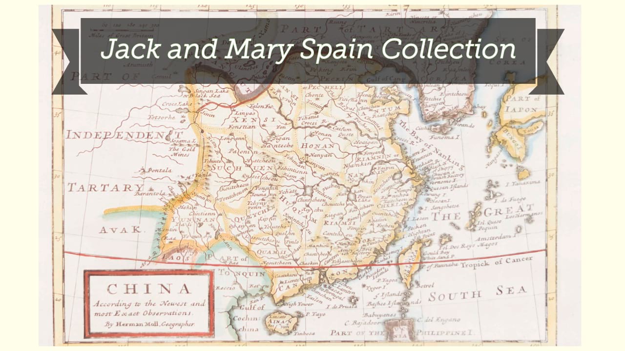
Carte de l'empire chinois et du Japon / dressée par M. Lapie et Lapie fils ; gravé par Pierre Tardieu.
| Author/creator | Lapie cartographer. |
| Other author | Lapie, M., fils, cartographer. |
| Other author | Tardieu, Pierre Antoine, 1784-1869, engraver. |
| Other author | Lith. Kaeppelin printer. |
| Format | Map |
| Publication | Paris : Chez P.C. Lehuby, 1838. |
| Description | 1 map ; 38 x 53 cm on sheet 51 x 68 cm |
| Subjects |
| Cartographic data | Scale approximately 1:12,500,000. |
| Local note | Joyner Rare vault copy is hand colored. |
| General note | Relief shown by hachures. |
| General note | Prime meridian: Paris. |
| General note | "Imprimé chez Kaeppelin et Cie"--Lower right margin. |
| General note | At upper left: Atlas universel. |
| General note | At upper right: 36e. |
| General note | From Lapie's Atlas universel de géographie ancienne et moderne, précédé d'un abrégé de géographie physique et historique.. |
| General note | Scale given in "Myriametres ou Lieues nouvelles" and 4 others. |
| General note | Shows China and much surrounding area including all of Japan and Sakhalin Island, Korea, Mongolia and westward into present-day Pakistan. |
| Digital Bookplate | Bookplate for Jack and Mary Spain |
| Acquisitions source | Joyner Rare vault copy gift of Jack and Mary Spain, 6/19/2024 |
| Genre/form | Maps. |
Availability
| Library | Location | Call Number | Status | Item Actions |
|---|---|---|---|---|
| Joyner | Rare Vault | G7820 1838 .L37 | ✔ Available | Request Material |