
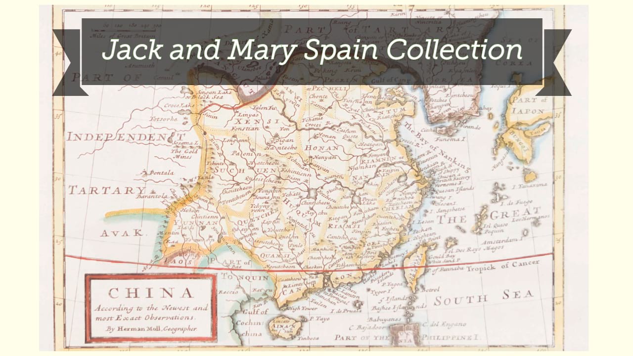
Johnson's China and Japan.
| Author/creator | Johnson, A. J. |
| Format | Map |
| Publication Info | New York : Published by A.J. Johnson, [1869], ©1868. |
| Description | 1 map : color ; 38 x 54 cm on sheet 46 x 63 cm |
| Supplemental Content | Library of Congress copy |
| Subjects |
| Cartographic data | Scale [ca. 1:7,700,000] (E 84°--E 148°/N 44°--N 16°). |
| General note | Relief shown by hachures. |
| General note | Prime meridians: Greenwich and Washington. |
| General note | Includes index to Japanese provinces and inset of "Vicinity of Canton and Hong Kong ". |
| General note | At upper left: 106. |
| General note | At upper right: 107. |
| General note | From Johnson's Atlas of the world, 1869. |
| Digital Bookplate | Bookplate for Jack and Mary Spain |
| Other forms | Available also through the Library of Congress Web site as a raster image. |
| Acquisitions source | Joyner Rare vault copy gift of Jack and Mary Spain, 6/19/2024 |
| Genre/form | Maps. |
| LCCN | 2007627525 |
Availability
| Library | Location | Call Number | Status | Item Actions |
|---|---|---|---|---|
| Joyner | Rare Vault | G7820 1868 .J64 | ✔ Available | Request Material |