
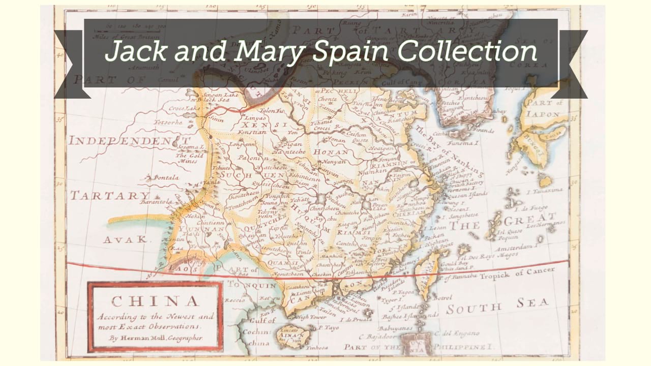
Chinae, olim Sinarum regionis, nova descriptio / auctore Ludovico Georgio.
| Author/creator | Barbuda, Luis Jorge de cartographer. |
| Other author | Ortelius, Abraham, 1527-1598. |
| Other author | Plantijnsche Drukkerij, printer. |
| Format | Map |
| Publication | [Antuerpiae] : [ex Officina Plantiniana, Abrah. Ortelij aere & cura], [1595] |
| Description | 1 map ; 34 x 46 cm on sheet 47 x 57 cm |
| Subjects |
| Cartographic data | Scale approximately 1:14,320,000. |
| Local note | Joyner Rare vault copy is hand colored. |
| General note | Originally appeared in Abraham Ortellius' Theatrum orbis terrarum (Antwerp : Plantin, 1584) and re-issued in numerous atlases. |
| General note | Scale given in "leucarum; quarum novemdecim, gradum efficiunt." |
| General note | Oriented with West at the top. |
| General note | Relief shown pictorially. |
| General note | The first printed map of China to appear in Europe and the first to show the Great Wall, compiled by the Portuguese mapmaker Luis Jorge de Barbuda. Cf. Nebenzahl. |
| General note | Illustrations include Tartar "yurts," wind wagons, and animals. The lower of the two wind wagons bottom right has cross-hatching on its sail, which occurs in states from 1595 onwards. Cf. van den Broecke. |
| General note | Latin text on verso, with last line of right-hand text page reading "uerso vt Herbraei, sed supernè rectà seorsum lineas ducunt," and numbered "106." Last line of left-hand text page reads "imprimis sextum Maffeij lib. de Reb. Indicis." |
| Digital Bookplate | Bookplate for Jack and Mary Spain |
| References | Broecke, Marcel van den. Ortelius atlas maps an illustrated guide, 1996, 1595L106, p. 492 |
| References | Nebenzahl, K. Mapping the silk road and beyond, 4.6 |
| Acquisitions source | Joyner Rare vault copy gift of Jack and Mary Spain, 6/19/2024 |
| Genre/form | Maps. |
Availability
| Library | Location | Call Number | Status | Item Actions |
|---|---|---|---|---|
| Joyner | Rare Vault | G7820 1584 .B37 | ✔ Available | Request Material |