
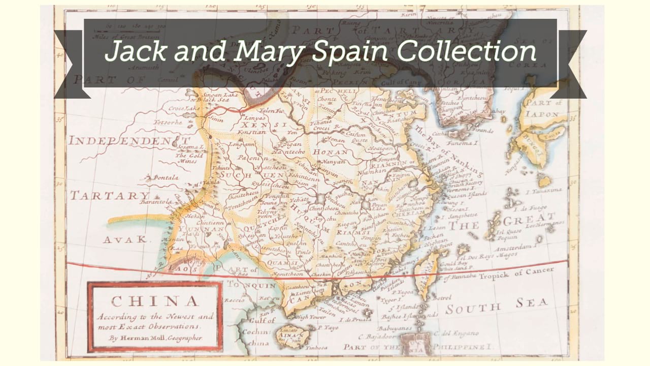
A new & accurate map of China / drawn from surveys made by the Jesuit missionaries by order of the emperor, the whole being regulated by numerous astronomical observations by Eman. Bowen.
| Author/creator | Bowen, Emanuel cartographer. |
| Format | Map |
| Publication Info | [London] : [W. Innys et al.], [1747] |
| Description | 1 map ; 33 x 41 cm on sheet 39 x 47 cm |
| Subjects |
| Variant title | New and accurate map of China |
| Cartographic data | Scale [ca. 1:10,000,000] (E 92°--E 130°/N 44°--N 16°). |
| Local note | Joyner Rare vault copy is hand colored. |
| General note | Relief shown pictorially. |
| General note | Prime meridians: London and Peking. |
| General note | Either from Bowen's Complete system of geography ... London : W. Innys et al., 1747, or from Bowen's The maps and charts to the modern part of the universal history, London : T. Osborne et al., 1766. |
| General note | Lacking page number. |
| General note | Includes illustration depicting figures in regional dress at bottom left. |
| General note | Scale given in "Li or Chinese furlongs 250 to a degree" and "English and French leagues 20 to a degree." |
| General note | Shows China and Korea, with detail primarily focused in China. |
| Digital Bookplate | Bookplate for Jack and Mary Spain |
| References | McCorkle, B.B. Carto-bibliography of the maps in eighteenth-century British and American geography books, #17 v. 2, map 11. |
| References | Maps in the atlases of the British Library, T.BOW-2d #28 |
| Acquisitions source | Joyner Rare vault copy gift of Jack and Mary Spain, 6/19/2024 |
| Genre/form | Early works. |
| Genre/form | Maps. |
| Genre/form | Maps. |
| LCCN | 2006629394 |
Availability
| Library | Location | Call Number | Status | Item Actions |
|---|---|---|---|---|
| Joyner | Rare Vault | G7820 1747 .B69 | ✔ Available | Request Material |