
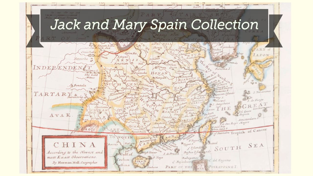
India orientalis.
| Author/creator | Hondius, Jodocus cartographer. |
| Other author | Mercator, Gerard, approximately 1565-1656, cartographer. |
| Format | Map |
| Publication Info | [Amsterdam] : [Jodocus Hondius, Jr.], [1619] |
| Description | 1 map ; 34 x 47 cm on sheet 38 x 52 cm |
| Subjects |
| Variant title | Indie orientale |
| Cartographic data | Scale [ca. 1:11,690,000]. |
| Local note | Joyner Rare vault copy is hand colored. |
| General note | Relief represented pictorially. |
| General note | Verso: Description in French, with title L'Indie orientale. |
| General note | Map is from the third French edition of the Mercator - Hondius atlas published by Jodocus Hondius, Jr. in 1619. |
| General note | Scale given in "Hispanicae leucae" and "Milliaria German." |
| General note | "Medius meridianus est 135. Reliqui ad hunc inclinantur pro ratione aequi noctialis et 30 paralleli."--Cartouche at upper right. |
| General note | Shows the Indian subcontinent, with part of South China, "Sian," "Camboia," "Luconia," and the northern part of Borneo. |
| General note | Illustrated with a sea monster and a sailing ship. |
| Digital Bookplate | Bookplate for Jack and Mary Spain |
| Acquisitions source | Joyner Rare vault copy gift of Jack and Mary Spain, 6/19/2024 |
| Genre/form | Maps. |
| Genre/form | Maps. |
Availability
| Library | Location | Call Number | Status | Item Actions |
|---|---|---|---|---|
| Joyner | Rare Vault | G7625 1619 .H66 | ✔ Available | Request Material |