
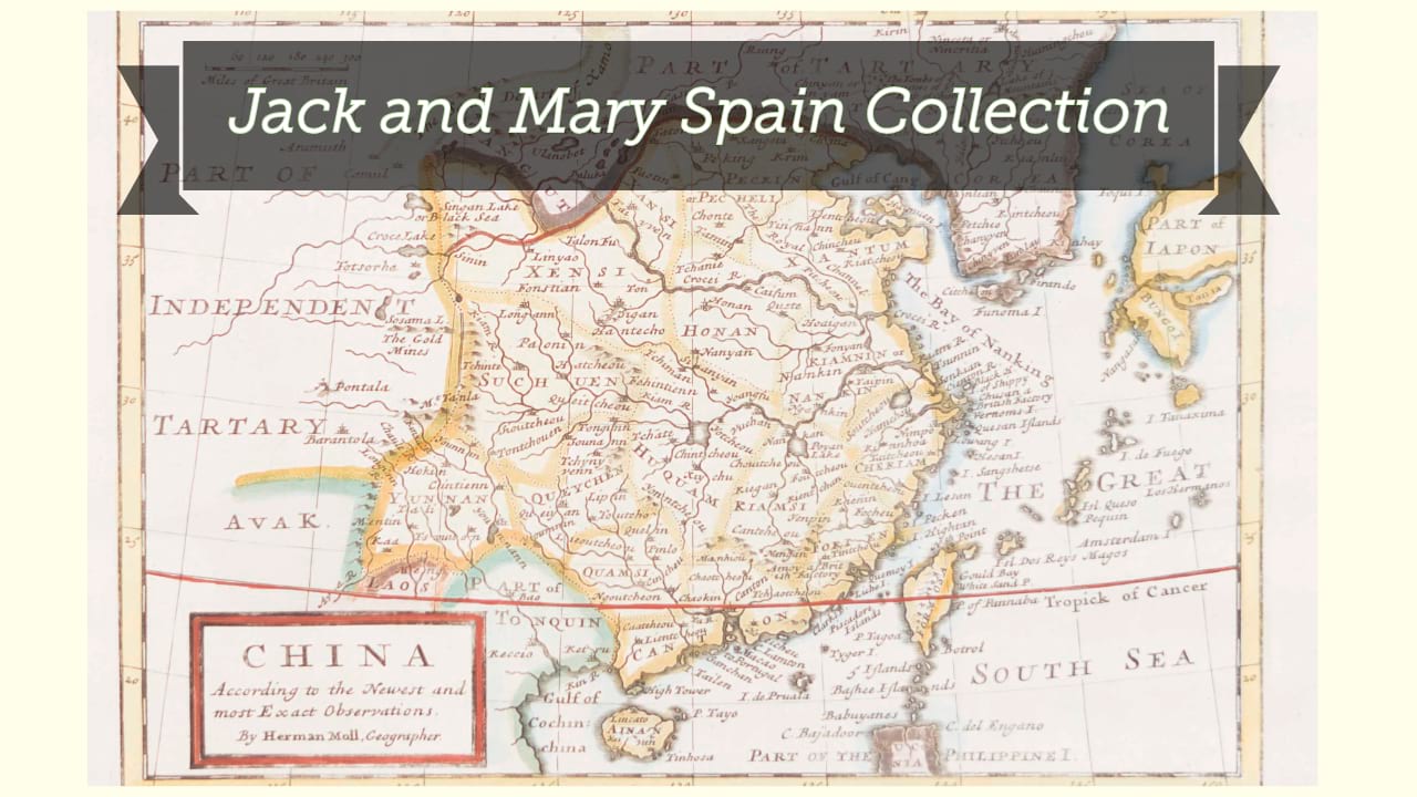
L'empire de la Chine, dressé d'après les cartes de l'atlas chinois / par le Sr. Robert de Vaugondy, geographe ordinaire du Roi, avec privilege, 1751.
| Author/creator | Robert de Vaugondy, Gilles cartographer. |
| Other author | Robert de Vaugondy, Didier, 1723-1786, cartographer. |
| Format | Map |
| Publication Info | [Paris?] : [Gilles and Didier Robert de Vaugondy], 1751. |
| Description | 1 map ; 47 x 51 cm on sheet 55 x 75 cm |
| Subjects |
| Cartographic data | Scale approximately 1:6,000,000. |
| Local note | Joyner Rare vault copy is hand colored. |
| General note | Relief shown pictorially. |
| General note | From Gilles and Didier Robert de Vaugondy, Atlas universel, 1753-1757 [or later].--Cf. Pedley, Short titles of maps in the Atlas Universel, in: Bel et utile, number 93, page 229. |
| General note | On verso: [stamped] 98. |
| General note | Scale given in: Mille pas géométriques de 60 au degré, Lys ou stades Chinois de 250 au degré, Pus de 25 au degré, and Lieues marines et d'une heure de 20 au degré. |
| General note | Shows China and Korea. |
| General note | Title cartouche illustrated with musicians, a dancer, and various accoutrements of France. Cartouche includes the 1751 date and privilege, with were removed in later editions.--Dealer description. |
| Digital Bookplate | Bookplate for Jack and Mary Spain |
| References | Pedley, M.S. Bel et utile, number 408 (page 201) |
| References | Chang, M. China in European maps, plate number 46 (page 121), description number 64 (page 163) |
| References | Shirley, R. Maps in the atlases of the British Library, volume 1, T. ROBV-1a-T. ROBV-1e (pages 857-858) |
| Acquisitions source | Joyner Rare vault copy gift of Jack and Mary Spain, 6/19/2024 |
| Genre/form | Early works. |
| Genre/form | Maps. |
| Genre/form | Maps. |
Availability
| Library | Location | Call Number | Status | Item Actions |
|---|---|---|---|---|
| Joyner | Rare Vault | G7820 1751 .R62 | ✔ Available | Request Material |