
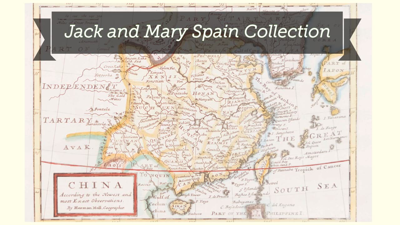
La Chine royaume : cette carte n'est qu'un abregé d'une autre tres belle, fort grande, et fort particuliere ... / par N. Sanson d'Abbeville, Geographe ordinaire du Roy ; Johannes Somer Pruthenus sculpsit.
| Author/creator | Sanson, Nicolas cartographer. |
| Other author | Somer, J., engraver. |
| Other author | Mariette, Pierre, 1603-1657, publisher. |
| Format | Map |
| Publication Info | A Paris : Chez Pierre Mariette, 1656. |
| Description | 1 map : illustrations ; 40 x 53 cm on sheet 43 x 56 cm |
| Subjects |
| Cartographic data | Scale [ca. 1:9,500,000]. |
| Local note | Joyner Rare vault copy is hand colored. |
| General note | Relief shown pictorially. |
| General note | "Avec privilege du roy. Pour vingt ans 1656." |
| General note | From Sanson's Cartes generales de toutes les parties du monde, 1658. |
| General note | Based on an indigenous Chinese map copied by Jesuit Matteo Ricci and brought back to Rome in 1590 by his fellow Jesuit Michele Ruggieri. The map extends to the northern tip of the Philippines and a curiously curved Korean peninsula. Korea was usually shown as an island in the 17th century, so Sanson's depiction is a cartographic improvement. A detailed explanation panel in bottom right is surmounted by an illustration of Pheme, the personification of fame and renown.--Dealer description. |
| Digital Bookplate | Bookplate for Jack and Mary Spain |
| References | Pastoureau, M. Atlas français, XVIe-XVIIe siècles, Sanson V A 1658 [10] (page 402) |
| Acquisitions source | Joyner Rare vault copy gift of Jack and Mary Spain, 6/19/2024 |
| Genre/form | Early works. |
| Genre/form | Maps. |
| Genre/form | Maps. |
| LCCN | 2006635537 |
Availability
| Library | Location | Call Number | Status | Item Actions |
|---|---|---|---|---|
| Joyner | Rare Vault | G7820 1656 .S26 | ✔ Available | Request Material |