
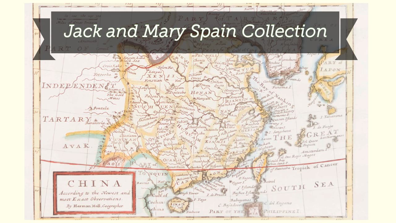
Carte de la Chine : d'après les documens les plus authentiques / par M. Brion de la Tour, Ingénr. Géographe du Roi.
| Author/creator | Brion de la Tour, Louis cartographer. |
| Format | Map |
| Publication | [Paris] : [publisher not identified], [1790?] |
| Description | 1 map ; 22 x 33 cm, on sheet 27 x 40 cm |
| Subjects |
| Cartographic data | Scale not given |
| Cartographic data | Scale approximately 1:135,800. |
| Local note | Joyner Rare vault copy |
| General note | Relief shown pictorially. |
| General note | From: Histoire universelle, depuis le commencement du monde, jusqu'à présent. |
| General note | Prime meridians: I. de Fer, Paris. |
| General note | Scale given in "Lis communs de la Chine de 250 au degré", "Lieues d'une heure de 20 au [degré]". |
| General note | Shows most of Korea and Japan as well, albeit without much detail. Provinces, towns and cities, rivers, and mountains are shown within China.--Cf. Dealer description. |
| General note | In top margin: "Hist. Univ. Part. mod., Tom. 13, pag. 113." |
| Digital Bookplate | Bookplate for Jack and Mary Spain |
| Acquisitions source | Joyner Rare vault copy gift of Jack and Mary Spain, 6/19/2024 |
| Genre/form | Early works. |
| Genre/form | Maps. |
| Genre/form | Maps. |
Availability
| Library | Location | Call Number | Status | Item Actions |
|---|---|---|---|---|
| Joyner | Rare Vault | G7820 1790 .B75 | ✔ Available | Request Material |