
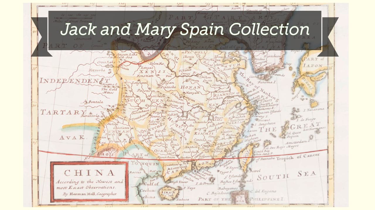
Nouvelle carte de l'Empire de la Chine et les païs circonvoisins = Nieuwe kaart van't Keizerryk China en de aangrensende landen.
| Other author | Tirion, Isaak, 1705-1769, printer. |
| Format | Map |
| Publication | A Amsterdam : Chez Isaac Tirion, [1769?] |
| Description | 1 map ; 25 x 32 cm on sheet 30 x 40 cm |
| Subjects |
| Parallel title | Nieuwe kaart van't Keizerryk China en de aangrensende landen |
| Cartographic data | Scale approximately 1:16,000,000. |
| Local note | Joyner Rare vault copy is hand colored. |
| General note | Relief shown pictorially. |
| General note | Shows China, Korea and Japan. |
| General note | Bar scale given in lieues communes d'Angleterre (3.9 cm: 420) and Lieues communes de France (3.9 cm : 140). |
| General note | From Nieuwe en Beknopte Hand-Atlas (possibly edition printed Amsterdam : Isaak Tirion, after 1769). Plate 86.--Cf. Koeman, C. Atlantes Neerlandici, v. 3 p. 127-132. |
| Digital Bookplate | Bookplate for Jack and Mary Spain |
| Acquisitions source | Joyner Rare vault copy gift of Jack and Mary Spain, 6/19/2024 |
| Language | Text in French and Dutch. |
| Genre/form | Maps. |
Availability
| Library | Location | Call Number | Status | Item Actions |
|---|---|---|---|---|
| Joyner | Rare Vault | G7820 1769 .N68 | ✔ Available | Request Material |