
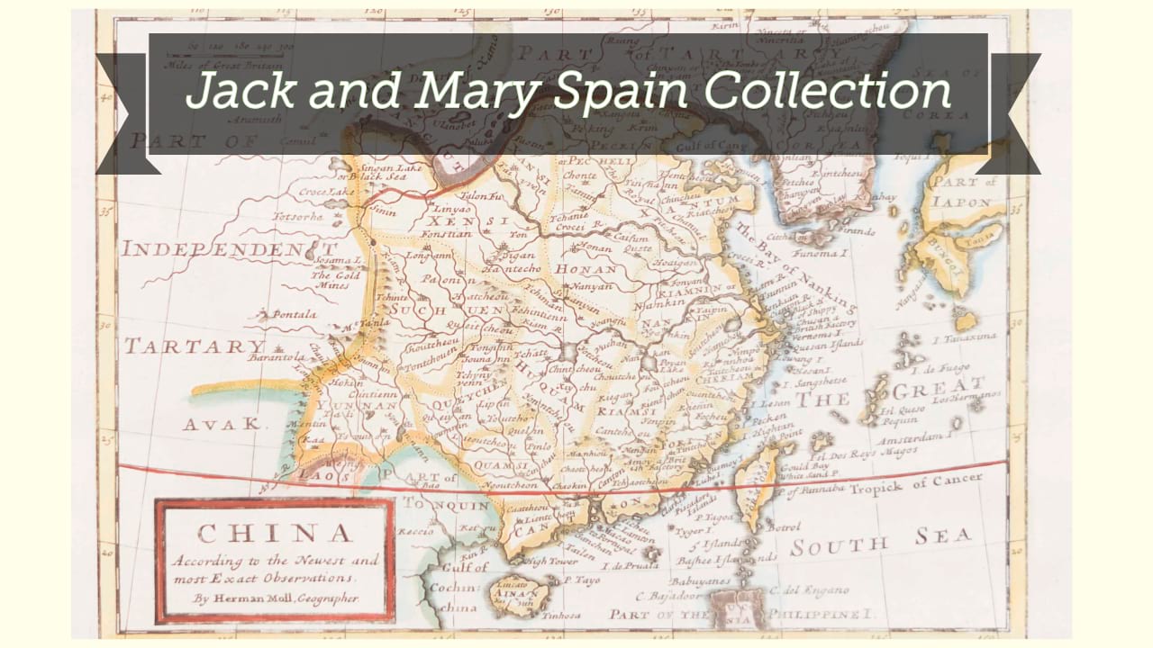
Johnson's China / by Johnson & Browning.
| Author/creator | Johnson, A. J. cartographer. |
| Format | Map |
| Publication Info | [New York] : [Johnson & Browning], [1861] |
| Description | 1 map ; 28 x 36 cm on sheet 36 x 45 cm |
| Subjects |
| Cartographic data | Scale approximately 1:10,700,000 (E 90°--E 130°/N 43°--N 20°) |
| Local note | Joyner Rare vault copy is hand colored showing provinces. |
| General note | Insets: Harbor & Island of Amoy; Map of Canton and adjacent islands. |
| General note | No. 86 in Johnson, A.J. Johnson's new illustrated (steel plate) family atlas ... comp., drawn and engraved under the supervision of J.H. Colton and A.J. Johnson. 1861. |
| General note | Relief shown by hachures; depth by isolines. |
| General note | "The ports opened by the recent treaties with China are in Egyptian capitals underlined..." |
| General note | Map enclosed in decorative border. |
| Digital Bookplate | Bookplate for Jack and Mary Spain |
| Acquisitions source | Joyner Rare vault copy gift of Jack and Mary Spain, 6/19/2024 |
| Genre/form | Maps. |
| Genre/form | Maps. |
Availability
| Library | Location | Call Number | Status | Item Actions |
|---|---|---|---|---|
| Joyner | Rare Vault | G7820 1861 .J64 | ✔ Available | Request Material |