
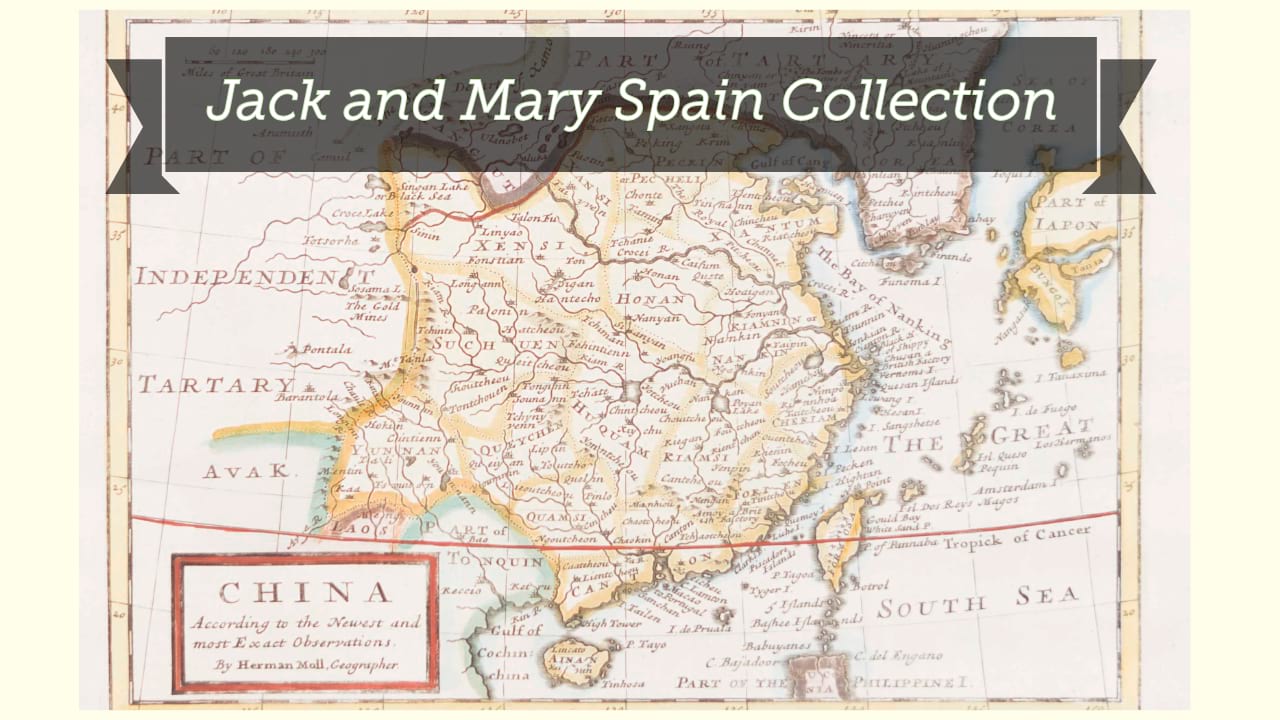
Empire de la Chine.
| Other author | Aa, Pieter van der, 1659-1733, publisher. |
| Format | Map |
| Publication | [Leiden] : [Pieter van der Aa], [1714?] |
| Description | 1 map ; 12 x 18 cm on sheet 19 x 23 cm |
| Subjects |
| Cartographic data | Scale approximately 1:37,000,000. |
| Local note | Joyner Rare vault copy is hand colored. |
| General note | Relief shown pictorially. |
| General note | Bar scale given in "lieues communes d'Allemagne." |
| General note | Includes the eastern part of China (bounded in the west by the Great Wall), Korea as an island, some islands of Japan, and a small portion of "America pars" in the upper right corner. |
| General note | From: L'Atlas soulagé de son gros & pesant fardeau (À Leide : Chez Pierre vander Aa), Part IX, map 200-- Koeman, C. Atlantes Neerlandici, v. 1, Aa 5. |
| Digital Bookplate | Bookplate for Jack and Mary Spain |
| Acquisitions source | Joyner Rare vault copy gift of Jack and Mary Spain, 6/19/2024 |
| Genre/form | Maps. |
Availability
| Library | Location | Call Number | Status | Item Actions |
|---|---|---|---|---|
| Joyner | Rare Vault | G7820 1714 .E47 | ✔ Available | Request Material |